Maps, Conceptual Art & Aboriginal Art
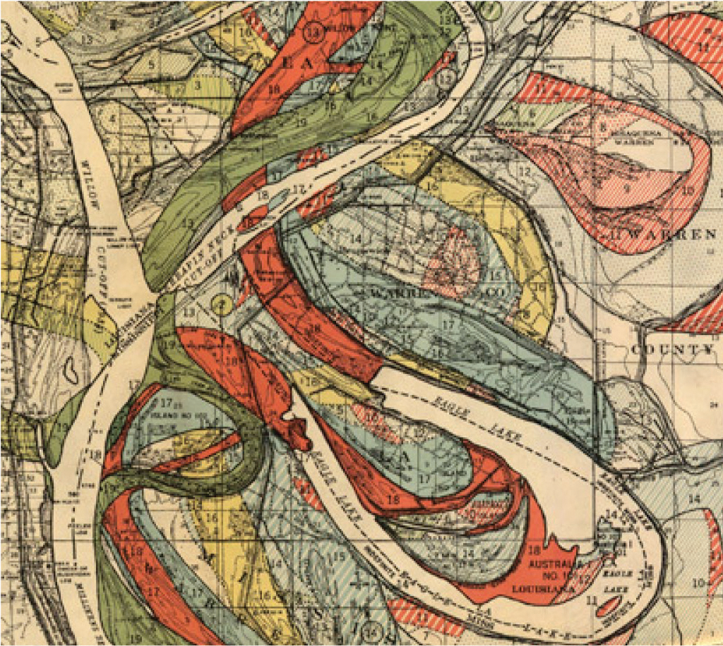
Maps mark distances in space, much like calendars mark distances in time. The rise of conceptual art in the late 1960s and 70s, heavily inspired by minimalism, brought attention to maps as artistic mediums. Geologists capture the contours of landscapes, which resemble human fingerprints. For geologists, unmapped land belongs to no one. Reading maps with our fingers becomes an intimate experience, tracing journeys and imagining connections.
The allure of maps inspired not only painters and sculptors but also conceptual artists and landscape architects, who saw them as abstract, graphical interpretations of memories and experiences. Even the simplest map has a distinct beauty, functioning as both a representation and a modernized idea of space.
Aboriginal communities in central Australia created sand drawings (and later canvases) to map their environment, connecting the past with the present. These works, resembling pointillist abstraction, include culturally significant landmarks like hills, waterholes, and trails. They merge the spiritual with the geographical and act as visual narratives of places and stories.
Maps, whether as artistic tools or geographical guides, overlap space, journey, and spiritual meaning. They are "film stills" of a journey, blending figurative and abstract elements. Maps fascinate us because they offer a way to logically view the world while revealing our position within it. This can be comforting or disorienting.
Today, the urge to explore new or remote places fuels artistic expression. Artists like Richard Long make travel their medium, transforming journeys into art. This constant movement reflects a modern tension between the ephemeral and the permanent—between life and death.


